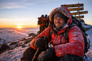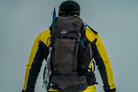
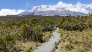
Reach the Summit with Confidence
- High success rate routes
- Expert local guides
- Proper pacing and support
Plan Your Kilimanjaro Climb the Right Way
OUR CATEGORIES
Lemosho Route Kilimanjaro: 8-Day Itinerary, Difficulty & Cost
Why Choose the Lemosho Route?
Quick Answer: Is the Lemosho Route Worth It?
| Best For | Why Lemosho Works Well |
|---|---|
| First-time climbers | The 8-day itinerary gives more time for altitude adjustment. |
| Scenery lovers | The route crosses rainforest, Shira Plateau, Lava Tower, Barranco Wall, and alpine desert. |
| Climbers wanting fewer crowds early | Lemosho starts on the quieter western side before joining the busier southern circuit. |
| Better acclimatization | The route follows a gradual profile and includes the Lava Tower climb-high, sleep-low day. |

Table of Contents
What Is the Lemosho Route on Kilimanjaro?
Where Does the Lemosho Route Start?
How Long Is the Lemosho Route?
Lemosho Route Overview
| Feature | Details |
|---|---|
| Route Length | 7 to 8 days |
| Distance | ~70 km / 43 miles |
| Start Point | Londorossi Gate, Western Kilimanjaro |
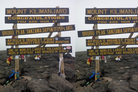
| Highest Point | Uhuru Peak, 5,895 m / 19,341 ft |
| Difficulty | Moderate to challenging |
| Best For | Scenic views, high success rate, and fewer crowds |
| Success Rate | ~98% on the 8-day itinerary |
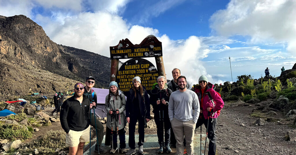
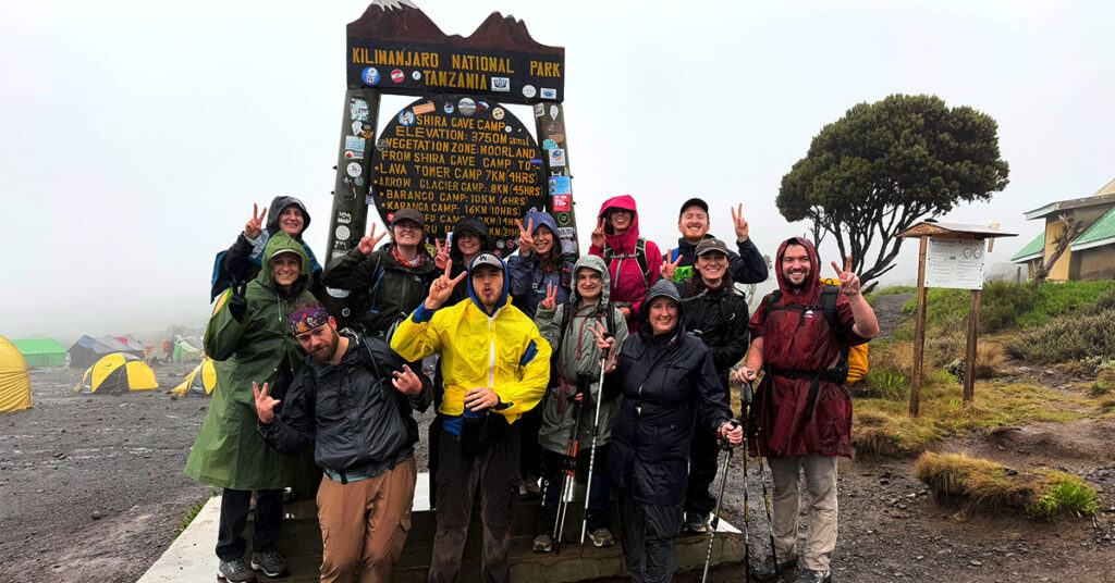
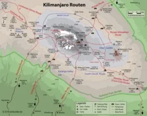
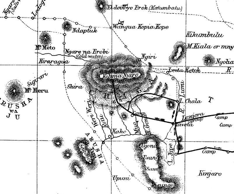
Lemosho Day Map and Elevation Profile

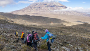
8-Day Lemosho Route Itinerary
The 8-day Lemosho itinerary is the best version for most climbers because it gives more time for acclimatization before summit night. The route starts slowly, gains altitude gradually, and uses the important Lava Tower acclimatization day before sleeping lower at Barranco Camp.
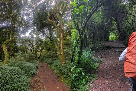
Day 1 – Londorossi Gate to Mti Mkubwa Camp
- Altitude: 2,100 m to 2,650 m
- Hiking time: 3–4 hours
- Zone: Rainforest
- Camp: Mti Mkubwa Camp
Day 2: Mti Mkubwa Camp to Shira 1 Camp
- Altitude: 2,650 m to 3,610 m
- Hiking time: 5–6 hours
- Zone: Rainforest to moorland
- Camp: Shira 1 Camp
Day 3: Shira 1 Camp to Shira 2 Camp
- Altitude: 3,610 m to 3,850 m
- Hiking time: 4–5 hours
- Zone: Moorland
- Camp: Shira 2 Camp
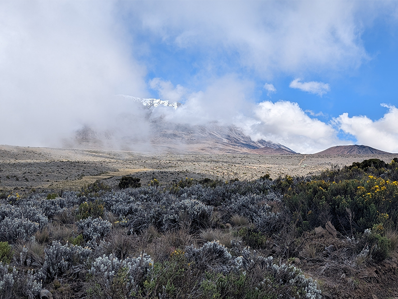
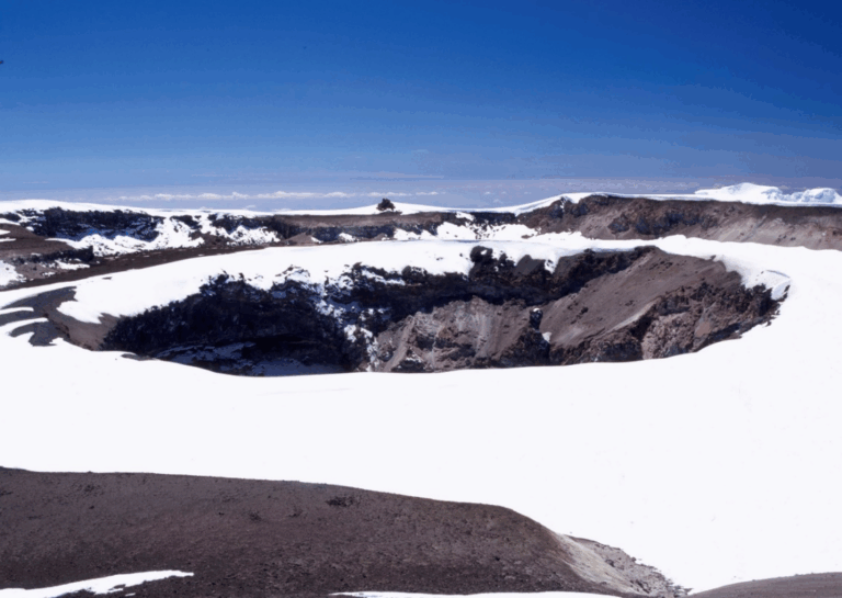
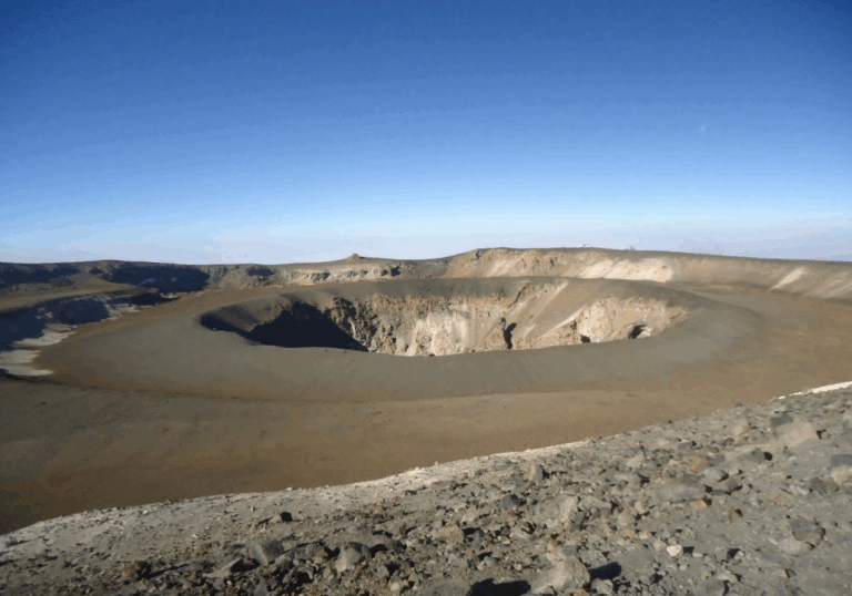
Day 4: Shira 2 Camp to Barranco Camp via Lava Tower
- Altitude: 3,850 m to 4,640 m, then down to 3,960 m
- Hiking time: 6–7 hours
- Zone: Alpine desert
- Camp: Barranco Camp
Day 5: Barranco Camp to Karanga Camp
- Altitude: 3,960 m to 4,035 m
- Hiking time: 4–5 hours
- Highlight: Barranco Wall
- Camp: Karanga Camp
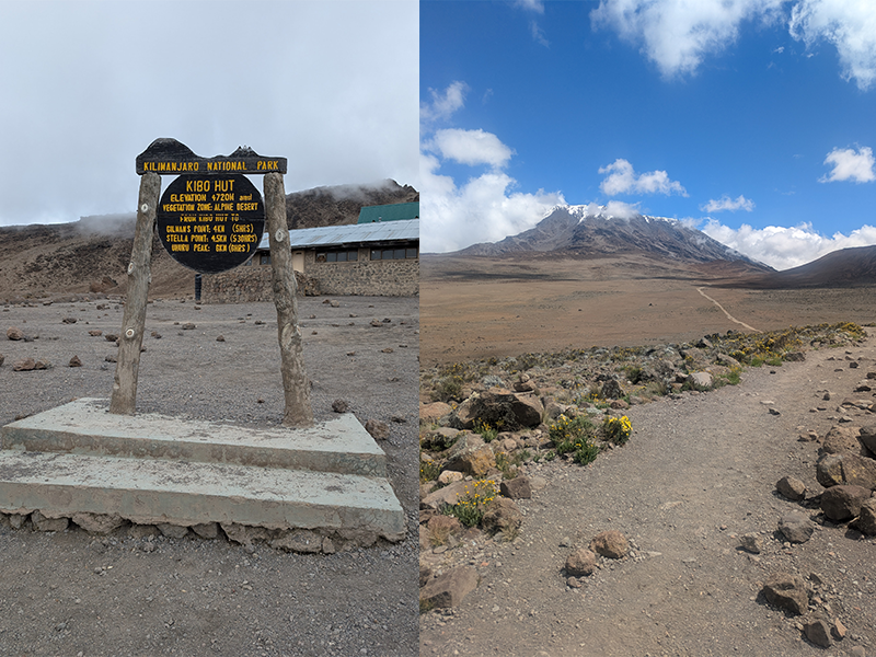
Day 6: Karanga Camp to Barafu Camp
- Altitude: 4,035 m to 4,673 m
- Hiking time: 3–4 hours
- Zone: Alpine desert
- Camp: Barafu Camp
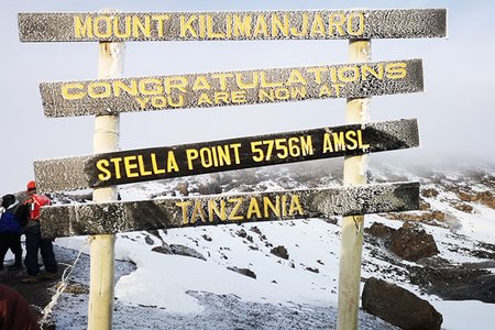
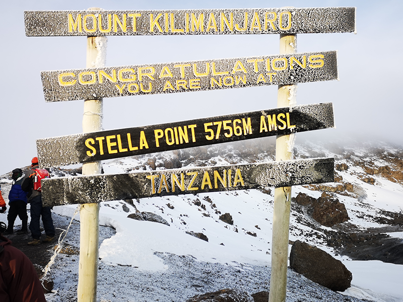
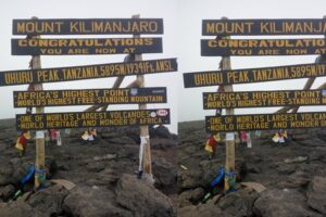
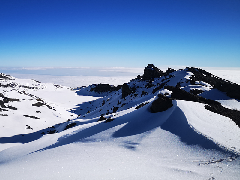
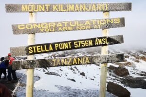
Day 7: Barafu Camp to Uhuru Peak, then down to Mweka Camp
- Altitude: 4,673 m to 5,895 m, then down to 3,100 m
- Hiking time: 12–14 hours total
- Summit: Uhuru Peak
- Camp: Mweka Camp
Day 8: Mweka Camp to Mweka Gate
- Altitude: 3,100 m to 1,640 m
- Hiking time: 3–4 hours
- Zone: Rainforest
- Finish: Mweka Gate
7-Day vs 8-Day Lemosho Route: Which Is Better?
| Option | Best For | Main Risk |
|---|---|---|
| 7-Day Lemosho | Fit climbers with some trekking experience | Less time for acclimatization |
| 8-Day Lemosho | Most first-time climbers and travelers who want better acclimatization | Higher cost because of the extra day |
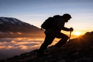
Lemosho Route Difficulty and Acclimatization
How Difficult Is the Lemosho Route?
Why Lemosho Has Strong Acclimatization
Who Should Choose the Lemosho Route?
- A first-time Kilimanjaro climber who wants better acclimatization
- A trekker with average to good fitness
- A traveler who wants one of Kilimanjaro’s most scenic routes
- A climber who prefers a quieter start before joining the southern circuit
- Someone who wants a strong balance of scenery, pacing, safety, and summit preparation
How Much Does the Lemosho Route Cost?

Best Time to Climb the Lemosho Route
| Season | What to Expect | Best For |
|---|---|---|
| January to early March | Warmer conditions, good visibility, and fewer crowds than peak season | Climbers who want a good balance of weather and quieter trails |
| June to October | Drier weather, clear skies, colder nights, and busier trails | Climbers who want the most reliable weather window |
| April to May | Long rains, muddy trails, lower visibility, and wetter camps | Usually not recommended |
| November | Short rains and more unpredictable conditions | Possible, but not ideal for most climbers |
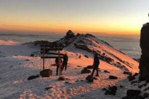
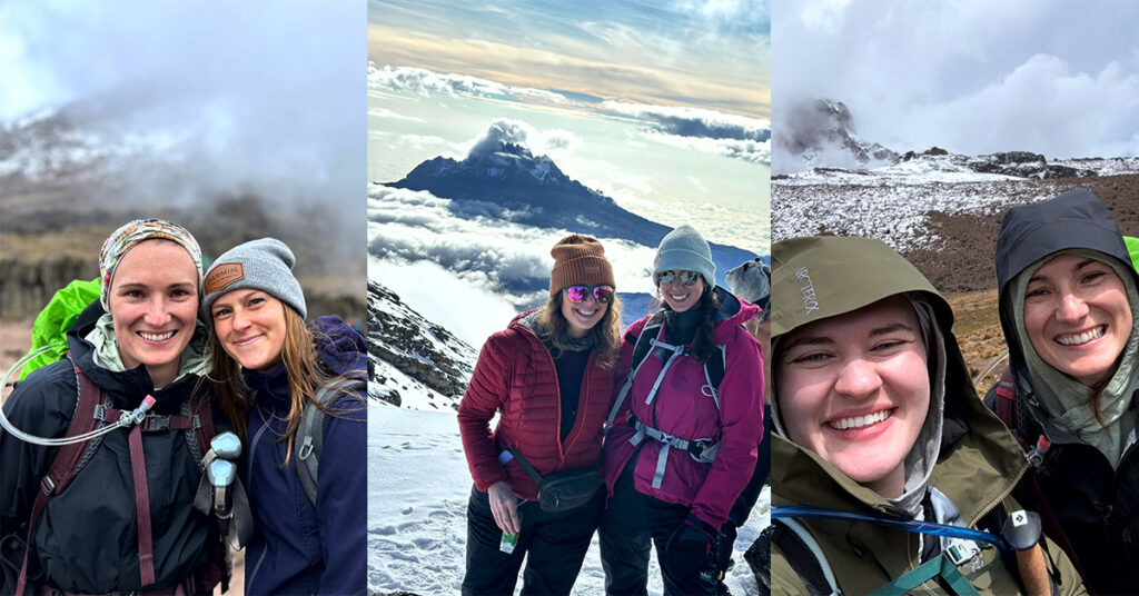
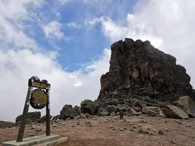
What Makes Lemosho Unique?
Lemosho Route vs Machame Route
| Category | Lemosho Route | Machame Route |
|---|---|---|
| Starting Side | Western Kilimanjaro | Southern Kilimanjaro |
| Best Duration | 8 days | 7 days |
| Scenery | Excellent, especially Shira Plateau and western approach | Excellent, with varied landscapes and dramatic southern circuit views |
| Crowds | Quieter at the start, busier after joining the southern circuit | Busier from the beginning |
| Acclimatization | Very strong on the 8-day itinerary | Good on the 7-day itinerary |
| Best For | Climbers who want scenery, better pacing, and a quieter start | Climbers who want a popular, scenic, slightly shorter route |

Is the Lemosho Route Right for You?
Choose Lemosho If You Want:
- A scenic Kilimanjaro route with rainforest, Shira Plateau, Lava Tower, Barranco Wall, and summit views
- A quieter start on the western side of the mountain
- Better acclimatization on an 8-day itinerary
- A strong route for first-time Kilimanjaro climbers
- A route that balances scenery, pacing, and summit potential
Lemosho May Not Be Ideal If:
- You only have 5 or 6 days for the climb
- You are looking for the cheapest Kilimanjaro route
- You prefer a shorter itinerary even if it gives less acclimatization time
- You want the quietest route all the way to the summit, because Lemosho joins the southern circuit after Shira

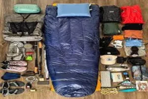
What to Pack for the Lemosho Route
Frequently Asked Questions About the Lemosho Route
How difficult is the Lemosho Route on Mount Kilimanjaro?
How many days does the Lemosho Route take?
The Lemosho Route usually takes 7 or 8 days. The 8-day itinerary is better for most climbers because it provides more time to adjust to altitude before summit night.
Is the Lemosho Route good for beginners?
What is the success rate of the Lemosho Route?
Is Lemosho better than Machame?
How much does the Lemosho Route cost?
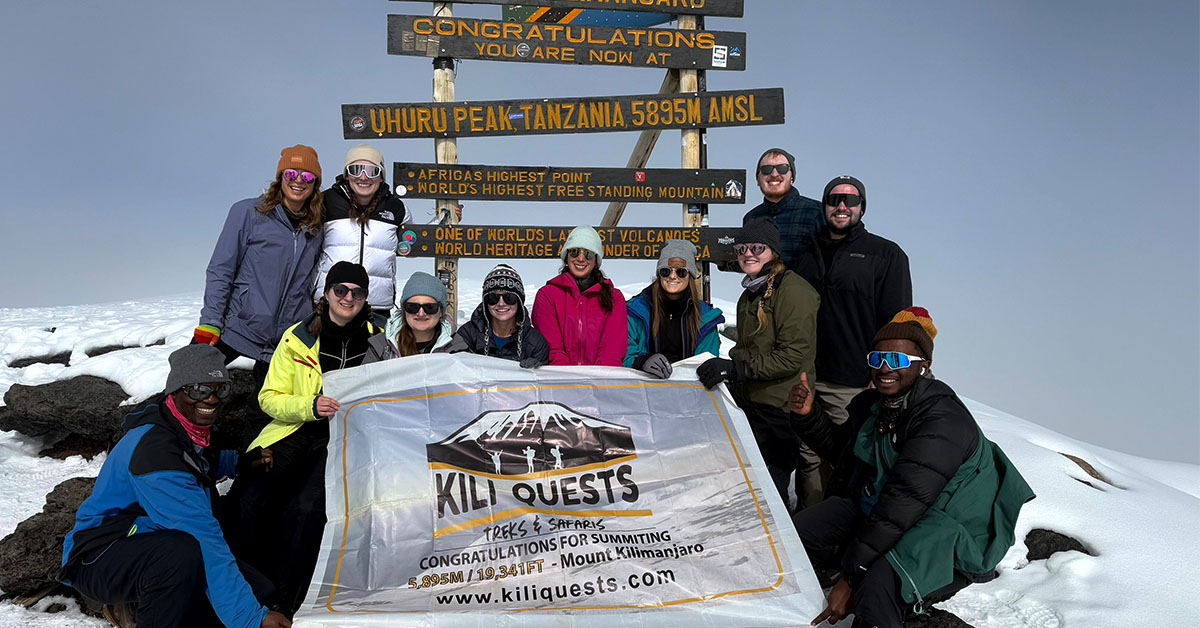
Climb Kilimanjaro via the Lemosho Route with Kili Quests
Related Articles
Best Time to Climb Kilimanjaro: Month-by-Month Weather Guide
Choose the Best Time to Climb Kilimanjaro The right season can make the difference between reaching the summit or turning back early.At Kili Quests, we
How to Acclimatize on Kilimanjaro: Routes, Pace & Tips
Plan Your Kilimanjaro Climb Safely Altitude is the biggest challenge on Kilimanjaro ,the right route and preparation can make the difference between turning back and
Kilimanjaro Climb Cost: Full Price Breakdown | Kili Quests
Plan Your Kilimanjaro Climb Budget Climbing Kilimanjaro is a major investment choosing the right route and support team makes all the difference.At Kili Quests, we


")