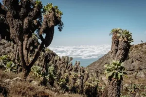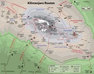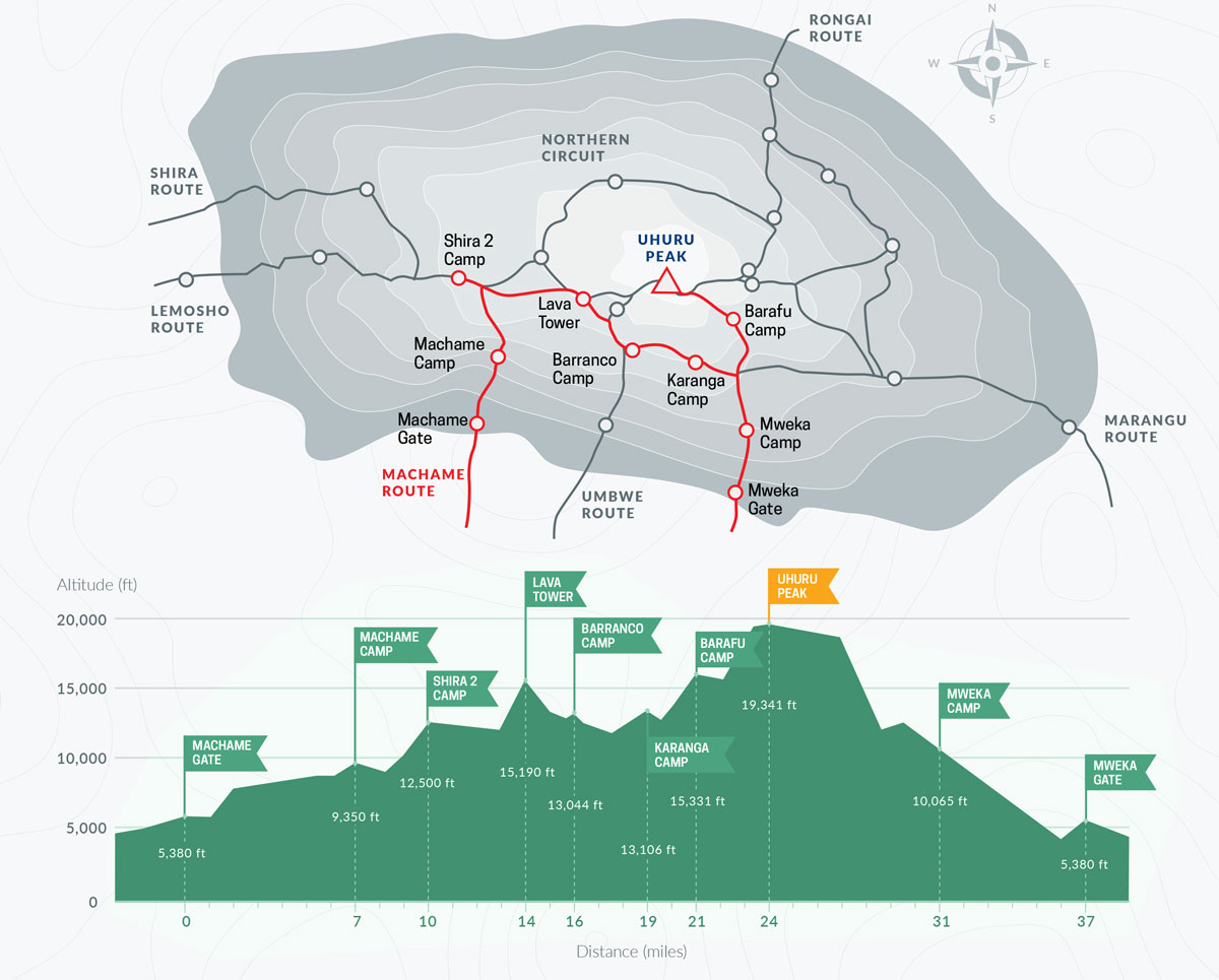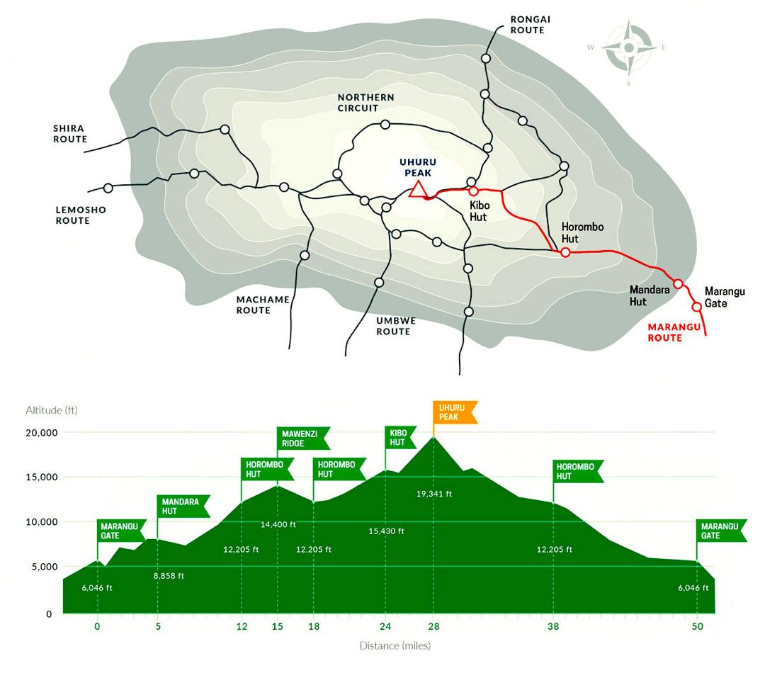


Machame vs Marangu: Which Kilimanjaro Route Is Better?
Choose the Right Route for Your Climb Compare routes and get expert advice for your Kilimanjaro adventure. Route comparison support Local expert guidance Full support

Machame vs Lemosho: Which Kilimanjaro Route Is Better?
Choose the Right Route for Your Climb Compare routes and get expert advice before your climb. Route comparison support Local expert guidance Full support from

Kilimanjaro Climb Cost: Full Price Breakdown
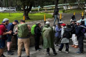
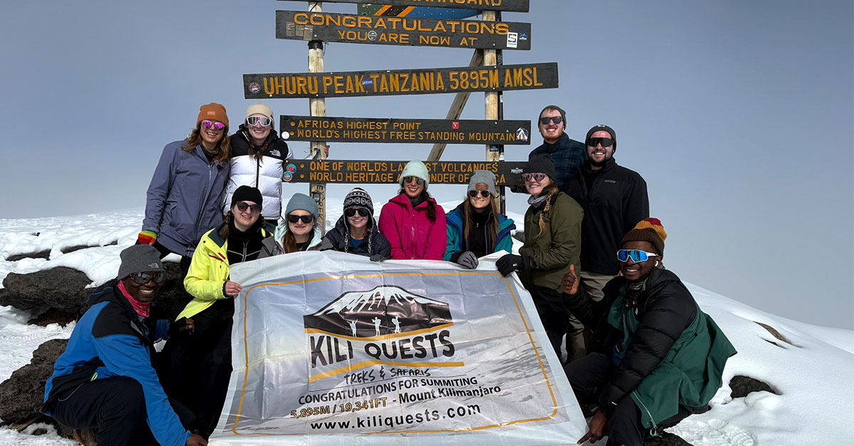
Plan Your Kilimanjaro Climb Budget Climbing Kilimanjaro is a major investment choosing the right route and support team makes all the difference.At Kili Quests, we


")