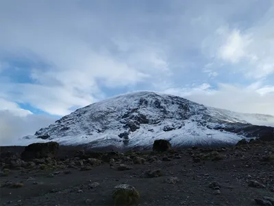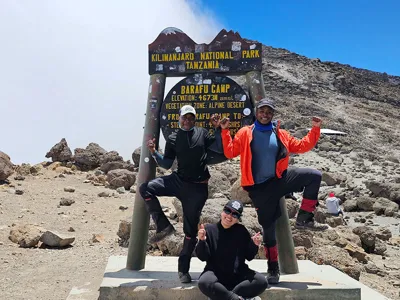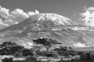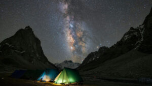
Best Time to Climb Kilimanjaro in 2026: Seasons & Weather
Choose the Best Time to Climb Kilimanjaro The right season can make the difference between reaching the summit or turning back early.At Kili Quests, we
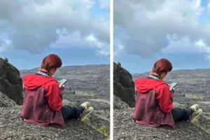
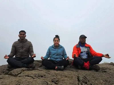
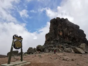
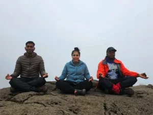
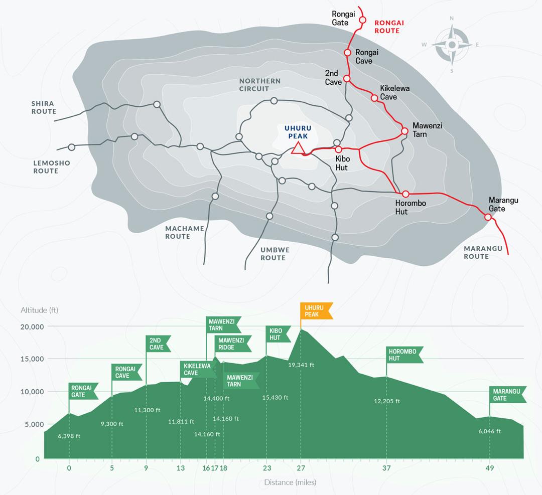
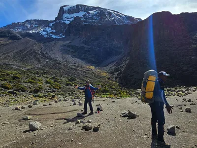
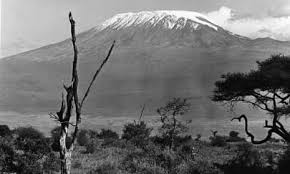
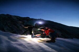
How to Acclimatize on Mount Kilimanjaro & Avoid Altitude Sickness
Plan Your Kilimanjaro Climb Safely Altitude is the biggest challenge on Kilimanjaro — the right route and preparation can make the difference between turning back

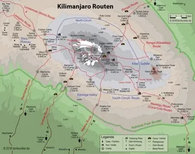
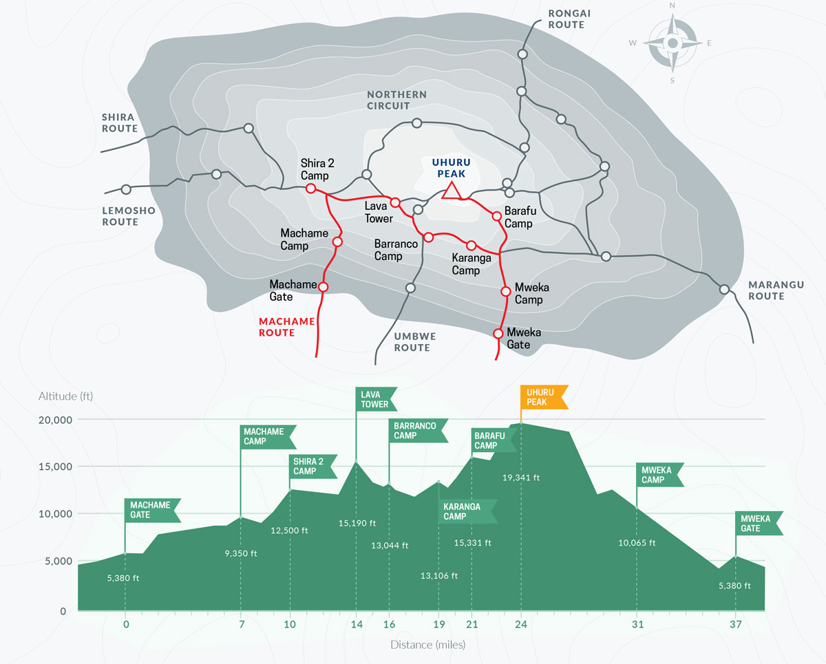
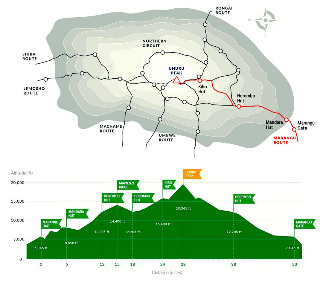
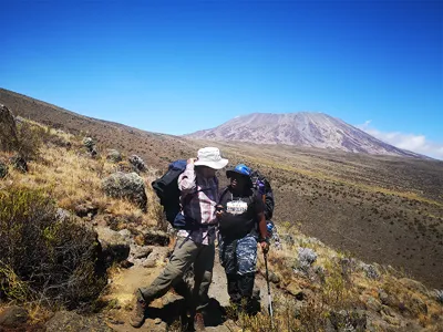
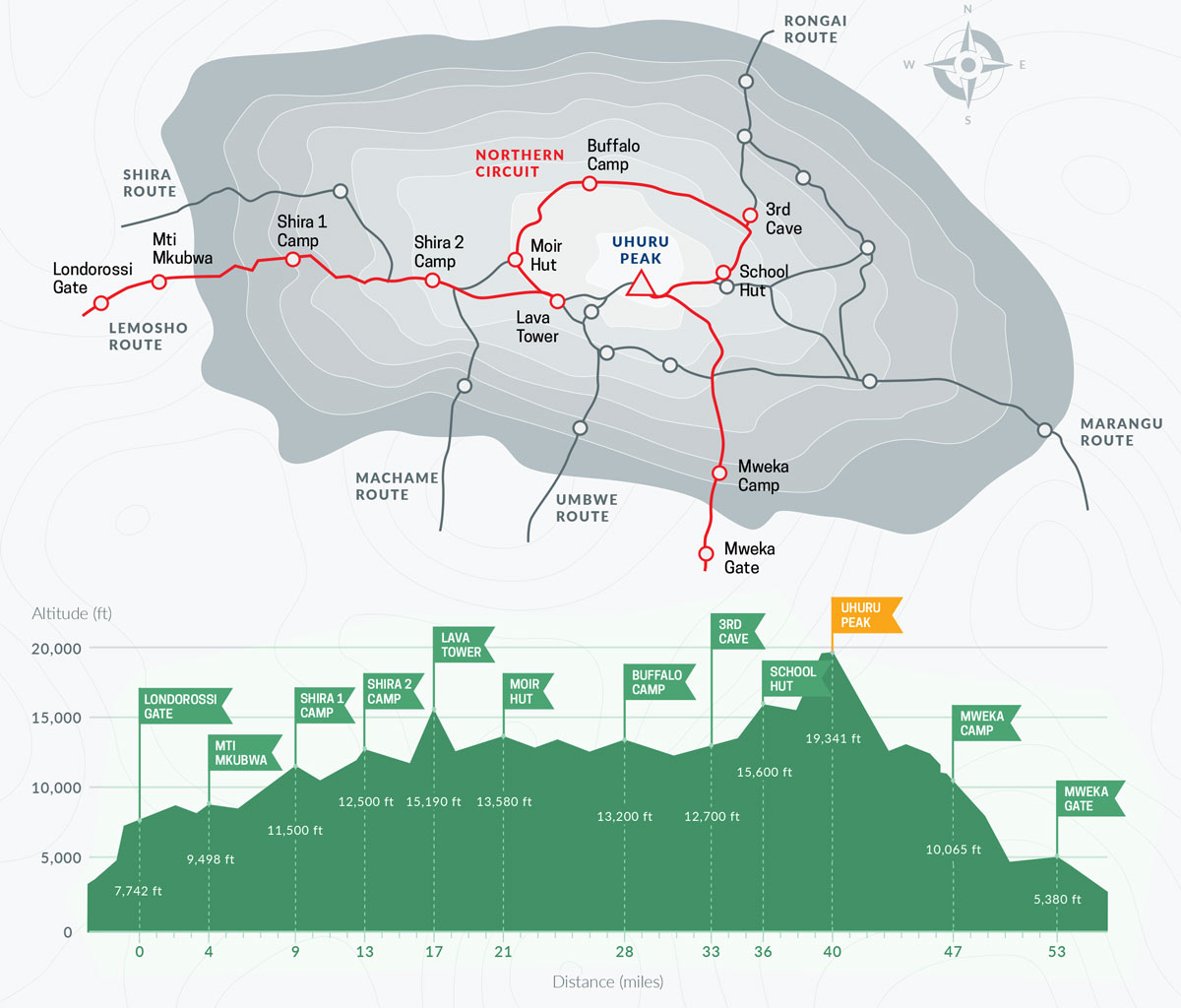
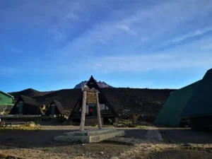
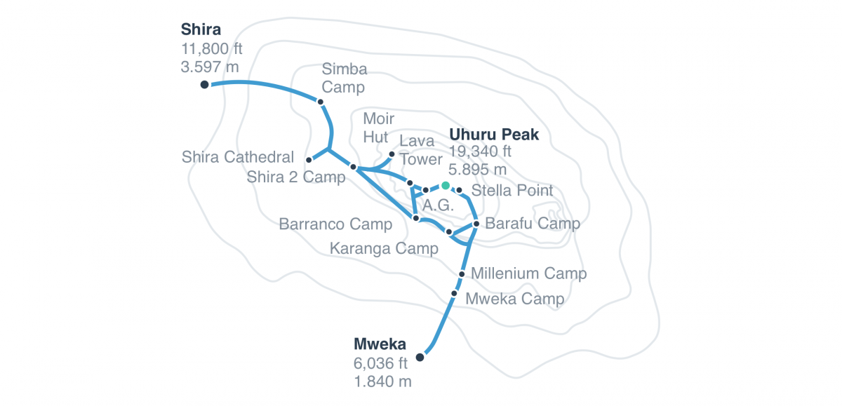
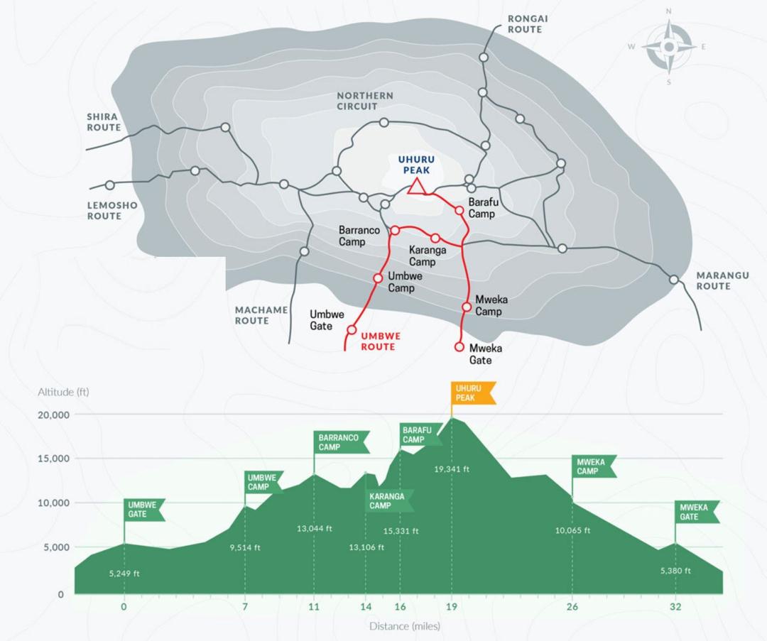
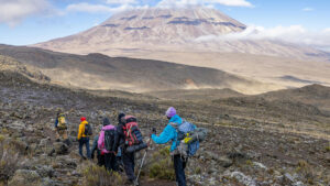
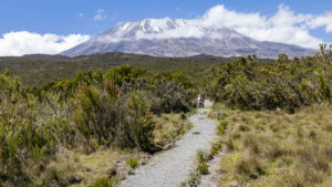
Kilimanjaro Routes Comparison: Which Route Is Best?
Plan Your Kilimanjaro Climb Climbing Kilimanjaro is a once-in-a-lifetime adventure choosing the right route and preparation makes all the difference. Choose the best route for