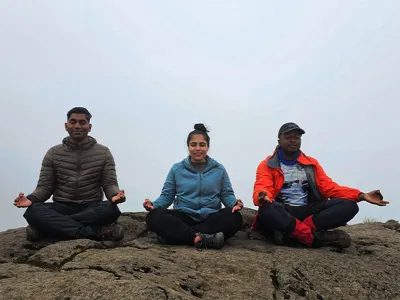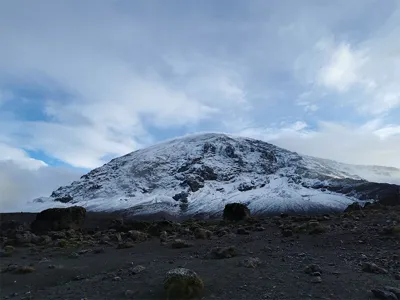
After the Summit: Guide to Descending Mount Kilimanjaro
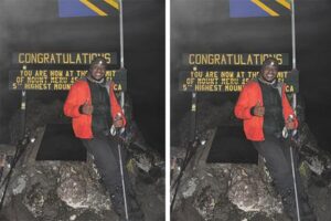
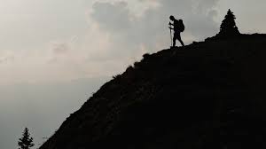
Table of Contents Final Descent of Kilimanjaro: Tips & What to Expect | Kili Quests After reaching the summit of Mount Kilimanjaro, many trekkers
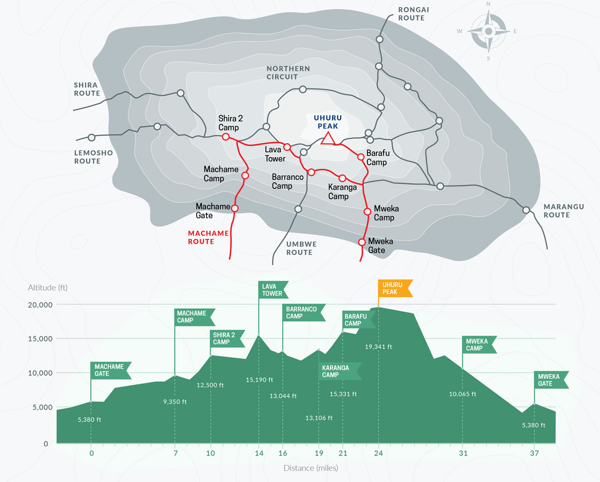
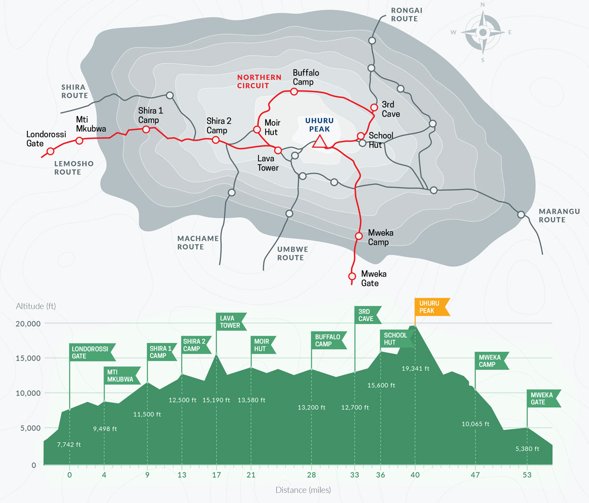
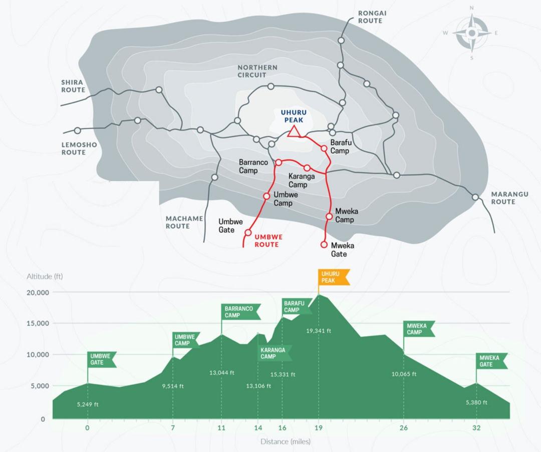
Lemosho Route: Scenic Kilimanjaro Trail
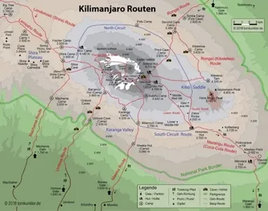
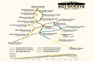
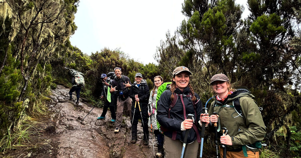
Table of Contents Lemosho Route on Kilimanjaro: Scenic Views & High Success Rate Why Choose the Lemosho Route? The Lemosho Route is widely regarded as
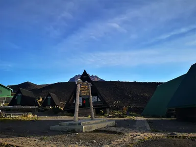
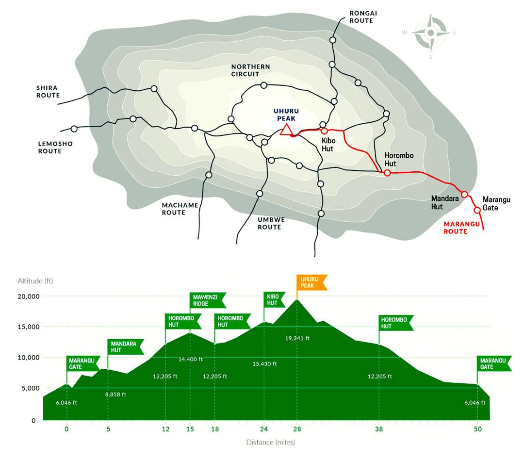
Northern Circuit: Longest Kilimanjaro Route
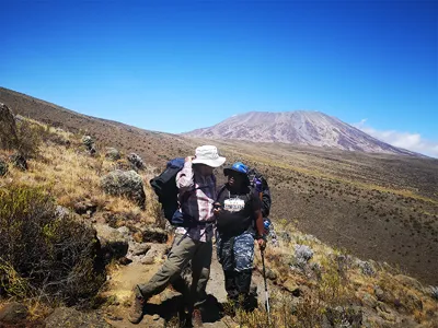
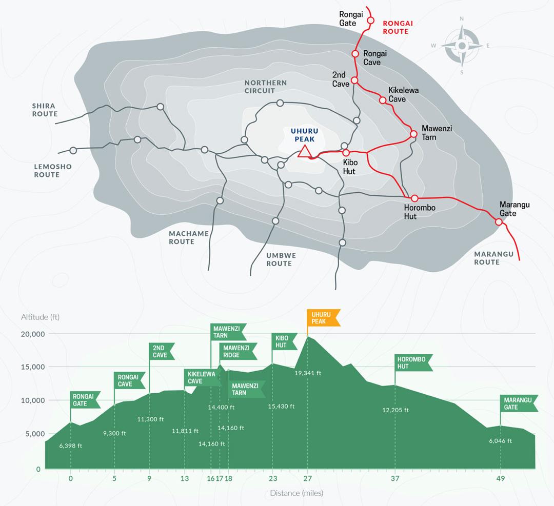
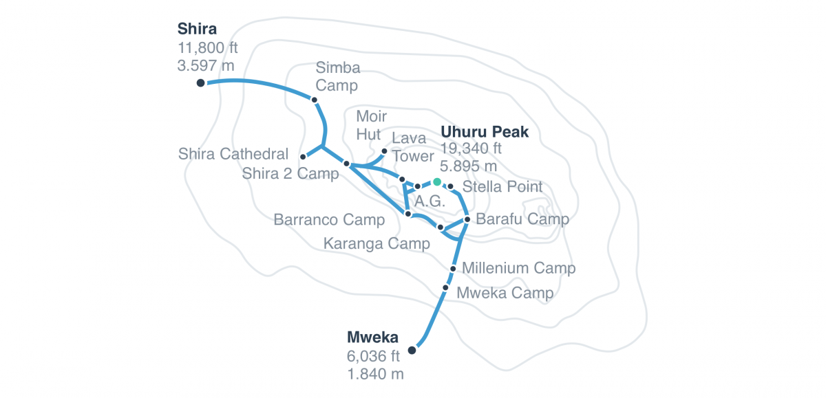
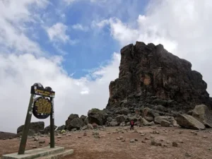
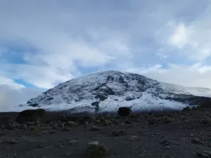
Table of Contents Northern Circuit Route on Kilimanjaro: Longest Kilimanjaro Route Why Choose the Northern Circuit Route? This route fully circles the northern slopes of