


Wildlife on Mount Kilimanjaro: Animals & Plants Guide
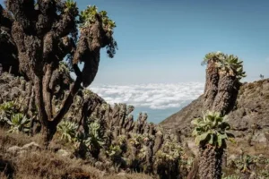
Flora and Fauna on Mount Kilimanjaro: What You’ll See on the Mountain Mount Kilimanjaro isn’t just Africa’s highest peak it’s also home to an extraordinary
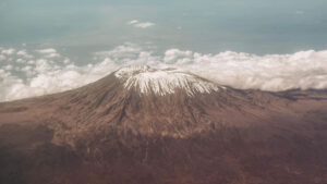
Mount Kilimanjaro Guide: Facts, Location & Overview
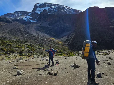
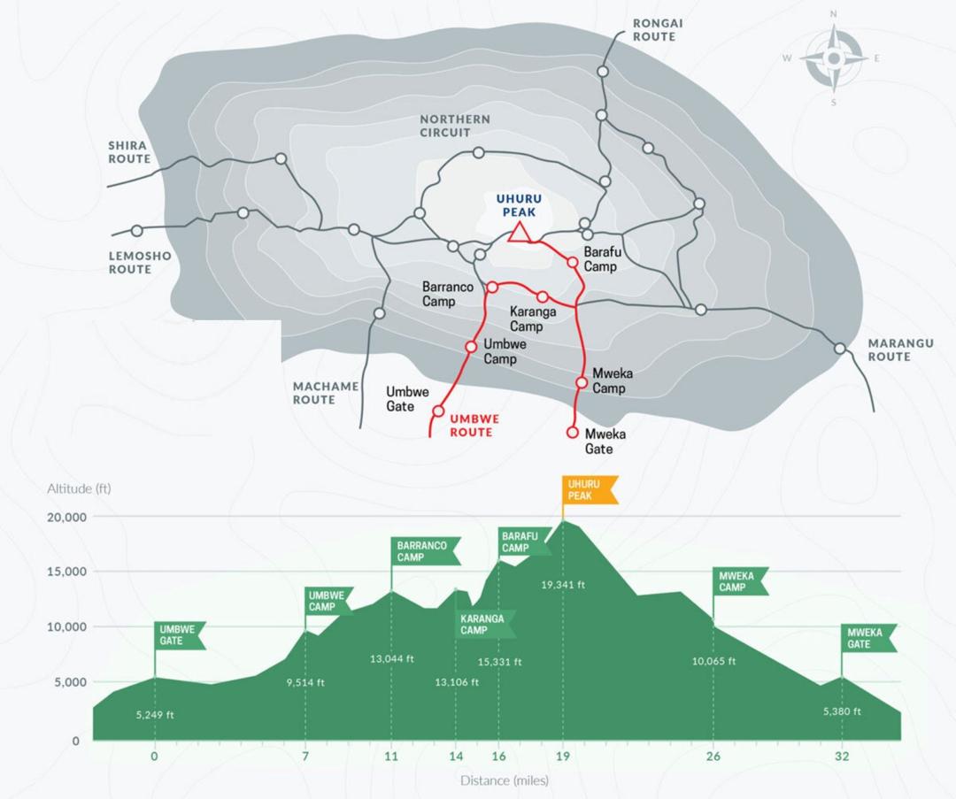
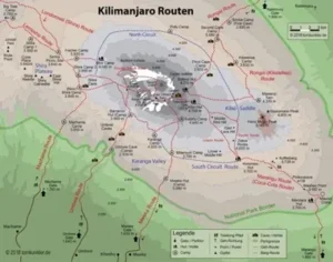
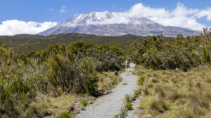
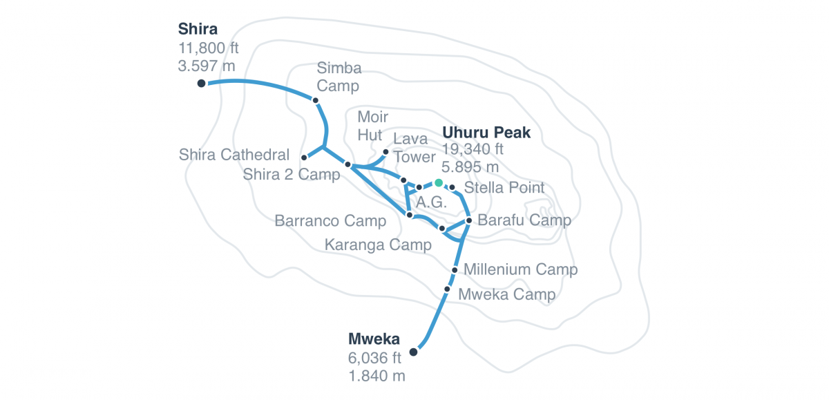
Mount Kilimanjaro, Africa’s highest peak, stands tall at 5,895 meters (19,341 feet) above sea level. Located in northern Tanzania, this iconic free-standing volcano draws thousands of trekkers each year. Whether you’re planning your first summit or comparing routes, this comprehensive guide covers everything you need to know—from choosing the best route to preparing for altitude and understanding what to expect on the mountain.
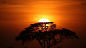
Tanzania Safari Tips: 10 Things to Know Before You Go
Table of Contents 10 Tips for an Unforgettable Safari with Kili Quests | Tanzania Travel Guide A Tanzania safari is more than just a