Rongai route

nepal-mountains-2023-11-27-05-07-33-utc

The only one that approaches Kilimanjaro from the north, starting near the Kenyan border

An interesting feature of the Rongai route is its gradual ascent profile, which allows for better acclimatization to the altitude. This can increase the chances of a successful summit attempt while minimizing the risk of altitude-related issues.

Highlights of Rongai route

Best views of Mawenzi:

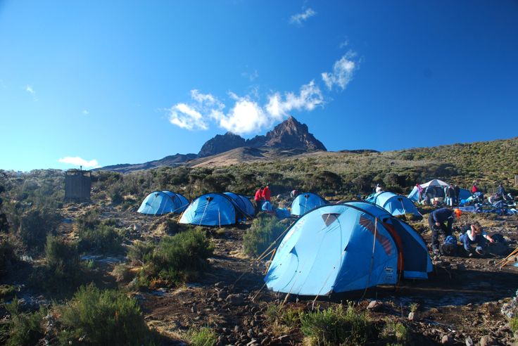
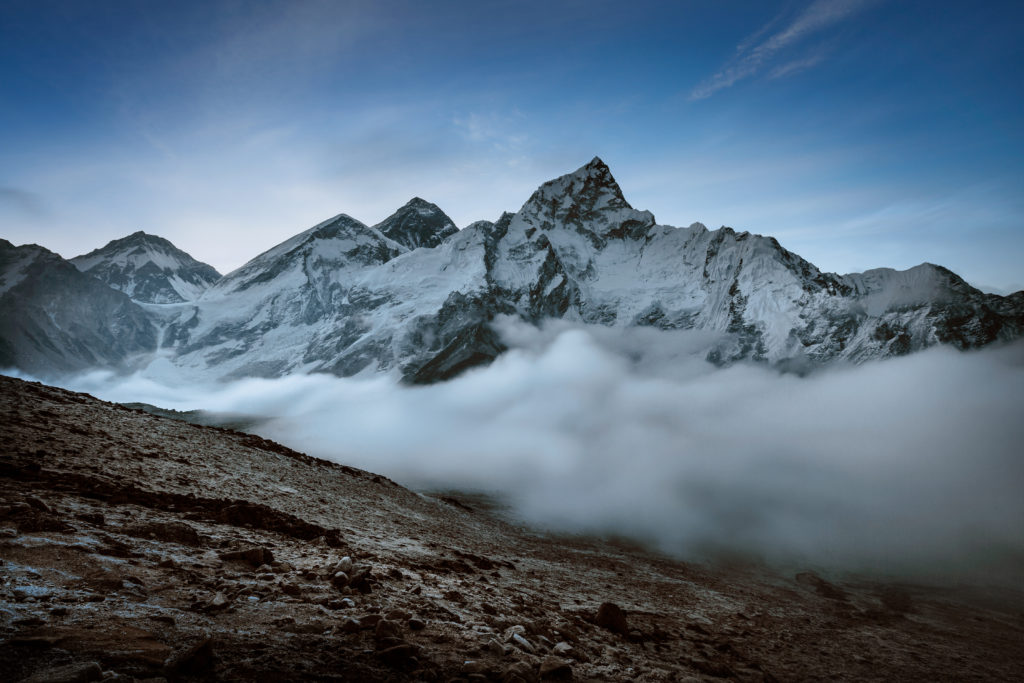
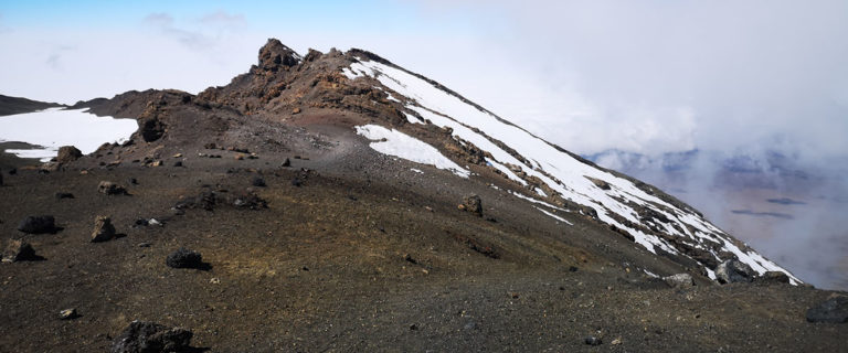
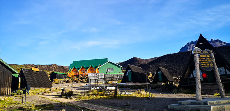
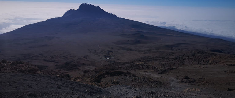
You may camp at Mawenzi tarn hut, the base of Mawenzi peak so expect great views.

Descend via Marangu:

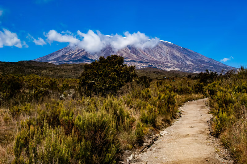
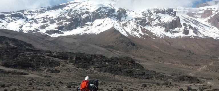
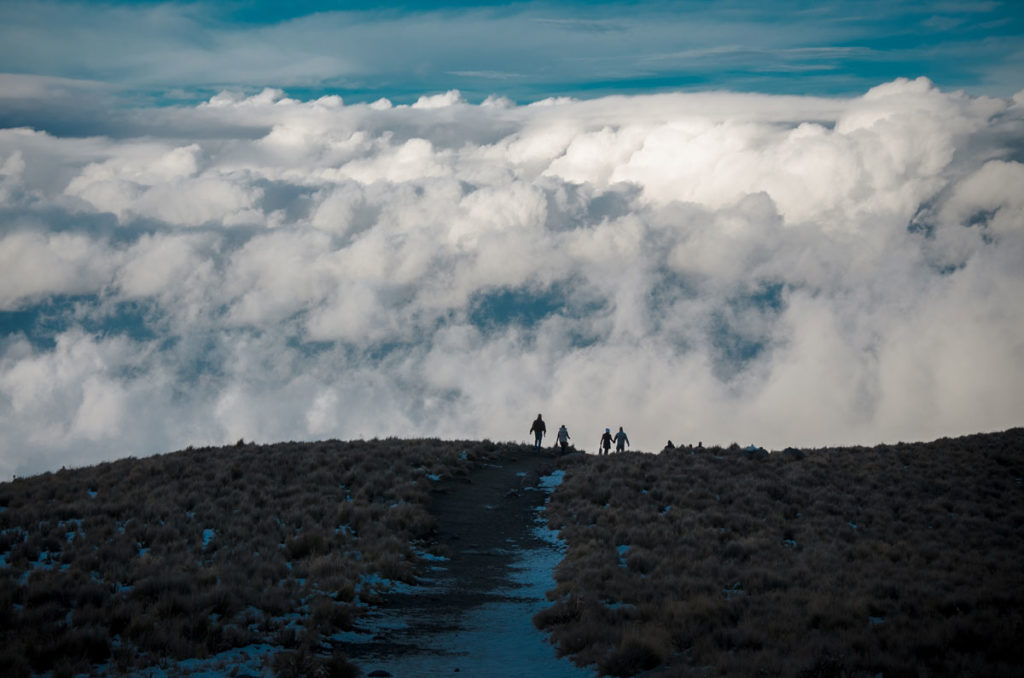
You will descend through Marangu route so you will enjoy trails on both routes.

Minimum trekking days:

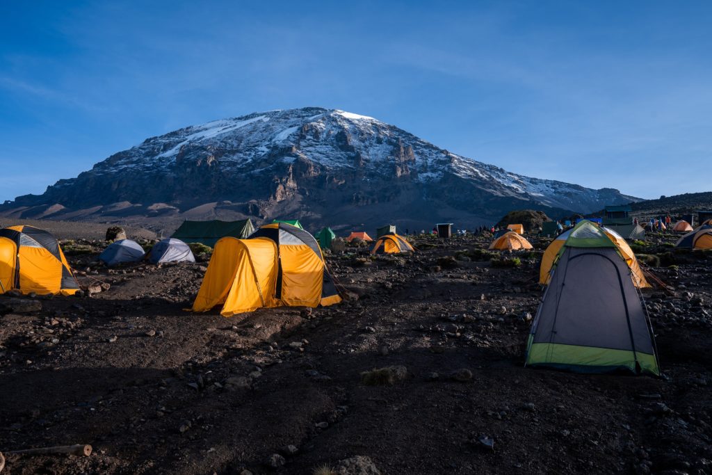
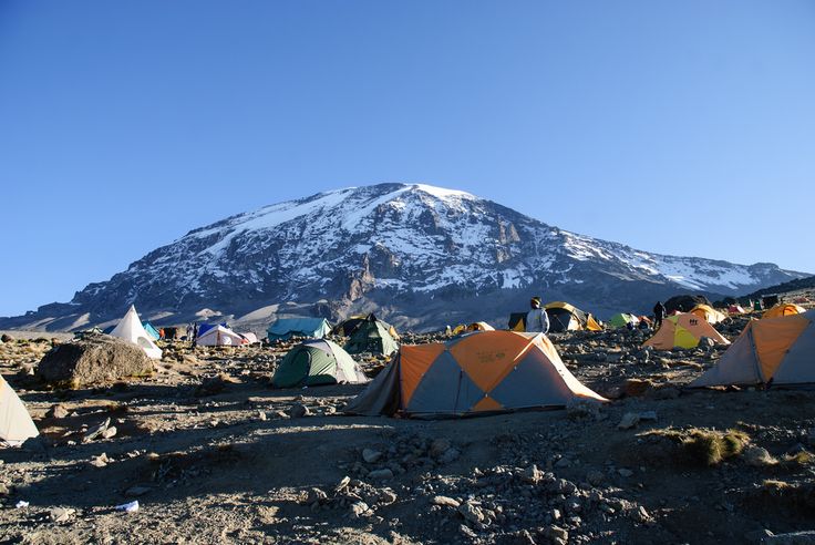
You can do it in 6 days. We recommend you do it in 7 days to allow your body to acclimatize well.

Relatively quite route:

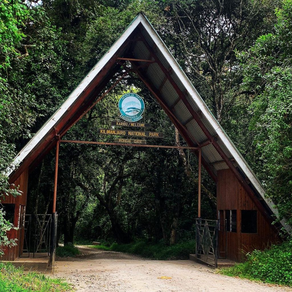
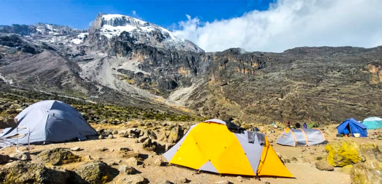
There are no many people who use this route. In addition the campsites are closer to each.

7 days Rongai route

Day 1: Rongai Gate (2,364 meters) to Simba Camp (2,671 meters)

From Moshi Town to Rongai Climbing Gate . The path winds through peasants fields and then climbs gently through the forest which is home to a variety of wildlife, including the black and white colobus monkey towards Rongai Cave.

Rongai Gate to Rongai Cave

  • Elevation: 6,398 ft to 9,300 ft
  • Distance: 8 km/5 miles
  • Hiking Time: 3-4 hours
  • Habitat: Rain Forest

Day 2: Simba Camp (2,671 meters) to Second Cave Camp (3,450 meters)

This morning with a steady incline up to Second Cave,We continue trekking though moorland, leaving the main trail for a smaller path towards the jagged peaks of Mawenzi, before finally arriving at Kikelewa Cave for the night.

Rongai Cave to to Second Cave

  • Elevation: 9,300 ft to 11,300 ft
  • Distance: 6 km/4 miles
  • Hiking Time: 3-4 hours
  • Habitat: Heath

Second Cave to Kikelewa Cave

  • Elevation: 11,300 ft to 11,811 ft
  • Distance: 6 km/4 miles
  • Hiking Time: 3-4 hours
  • Habitat: Heath

This day the hike  is short and steep up a grassy slope. Views of the wilderness area are stunning. As we exit the heath zone and emerge into the Alpine Desert zone, the landscape changes dramatically. Our camp is situated beneath the sharp spires of Mawenzi, at Mawenzi Tarn. The remainder of the day can be spent relaxing or exploring the area.

Kikelewa Cave to Mawenzi Tarn

  • Elevation: 11,811 ft to 14,160 ft
  • Distance: 5 km/3 miles
  • Hiking Time: 3-4 hours
  • Habitat: Alpine Desert

This is an added day meant for acclimatization and can be spent day hiking on Mawenzi Ridge. The unique landscape offers motivating views of Kibo and Mawenzi the popular peaks of Kilimanjaro mountain. After spending a few moments exploring the area we head back to Mawenzi Tarn for camp.

Mawenzi Tarn to Mawenzi Ridge

  • Elevation: 14,160 ft -14,400 ft
  • Distance: 2 km/1 mile
  • Hiking Time: 1-2 hours
  • Habitat: Alpine Desert

Mawenzi Ridge to Mawenzi Tarn

  • Elevation: 14,400 ft -14,160 ft
  • Distance: 2 km/1 mile
  • Hiking Time: 1-2 hours
  • Habitat: Alpine Desert

Day 5: Mawenzi Tarn Hut (4,315 meters) to Kibo Hut (4,720 meters)

We climb gradually, then cross the lunar desert of the “Saddle” between Mawenzi and Kibo. Our camp, Kibo Hut, sits at the bottom of the Kibo crater wall. Once here we rest, enjoy an early dinner to prepare for the summit day.

Marwenzi Tarn to Kibo Hut

  • Elevation: 14,160 ft to 15,430 ft
  • Distance: 8 km/5 miles
  • Hiking Time: 5-6 hours
  • Habitat: Alpine Desert

Day 6: Kibo Hut (4,720 meters) to Uhuru Peak (5,895 meters) and then Horombo Hut (3,720 meters)

Very early in the morning (around midnight), our guide will lead the push to the summit. This is the most mentally and physically challenging portion of the trek. The wind and cold at this elevation and time of day can be extreme. We ascend in the darkness for several hours while taking frequent, but short, breaks. At Gilman’s point (18,600 ft), you will be rewarded with the most magnificent sunrise you are ever likely to see coming over Mawenzi Peak. Finally, we arrive at Uhuru Peak- the highest point on Mount Kilimanjaro and the continent of Africa.

After spending a few moments taking in the plains of Africa and your accomplishment, we descend to Horombo Hut. Later in the evening, we enjoy our last dinner on the mountain and a well-earned sleep.

Kibo Hut to Uhuru Peak

  • Elevation: 15,430 ft to 19,341 ft
  • Distance: 6 km/4 miles
  • Hiking Time: 6-8 hours
  • Habitat: Arctic

Uhuru Peak to Horombo Hut

  • Elevation: 19,341 ft to 12,250 ft
  • Distance: 16 km/10 miles
  • Hiking Time: 4-5 hours
  • Habitat: Heath
Horombo Hut

On our last day, we have a long trek mostly downhill through the tropical rainforest. Once at the park headquarters at Marangu gate, we will be awarded our summit certificates. A vehicle will meet us here and drive us back to the hotel in Moshi/Arusha.

Horombo Hut to Marangu Gate

  • Elevation: 12,205 ft to 6,046 ft
  • Distance: 20 km/12 miles
  • Hiking Time: 5-7 hours
  • Habitat: Rain Forest

There will be the end of our treck.

PLEASE NOTE:

  • Itineraries are flexible and we customize them according to your needs. 
  • Airport pick up and drop off are optional, meaning if you are already in Moshi or Arusha or you can arrange your own airport transfers, we can take them out of the price for this tour.
  • Pre- and post-climb accommodations are optional.
mount-kilimanjaro-is-the-name-of-the-tallest-mount-2023-11-27-05-04-55-utc

Trekking Packages

We'd love to answer your questions!

caminando-entre-las-nubes-2023-11-27-05-31-21-utc

Inquire Rongai route trek

Rongai treks start at $2,200 per person. Inquire for a quote below.