Northern Circuit route

mount-kilimanjaro-is-the-name-of-the-tallest-mount-2023-11-27-05-04-55-utc

Traveling Northern Circuit Route: What's it like?

Starts at: 2,250 M

Best for: Begginers

Known for: Being the longest route on Kilimanjaro

Hike Northern Circuit for: More acclimatization time, stunning 360-degree views

Highlights of Northern circuit route

Very Scenic:

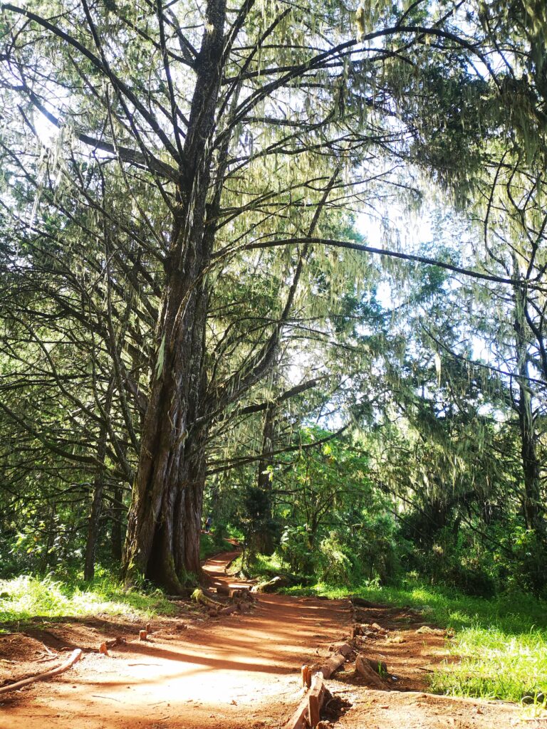
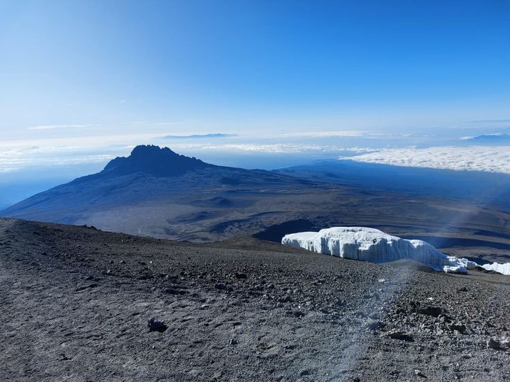
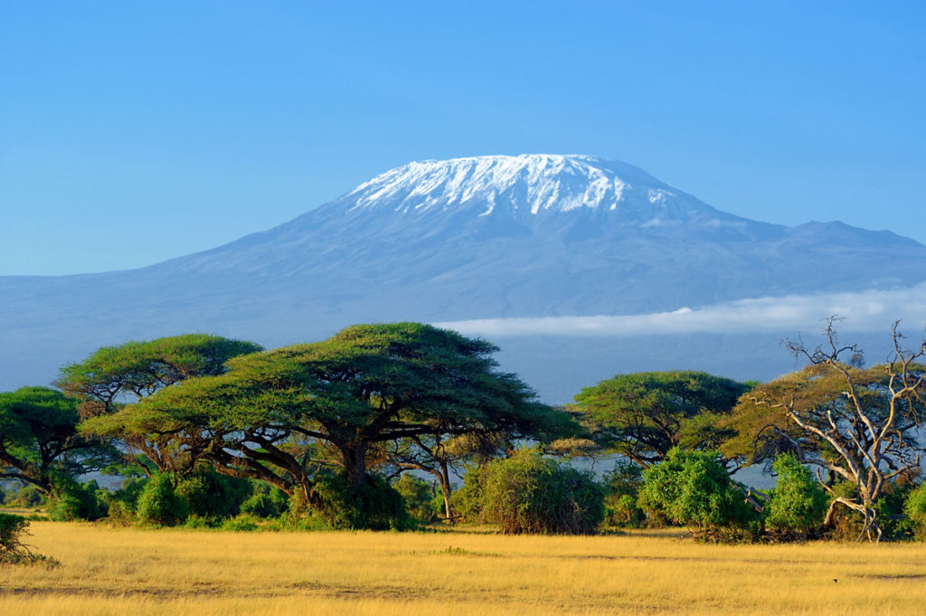
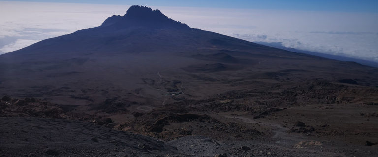
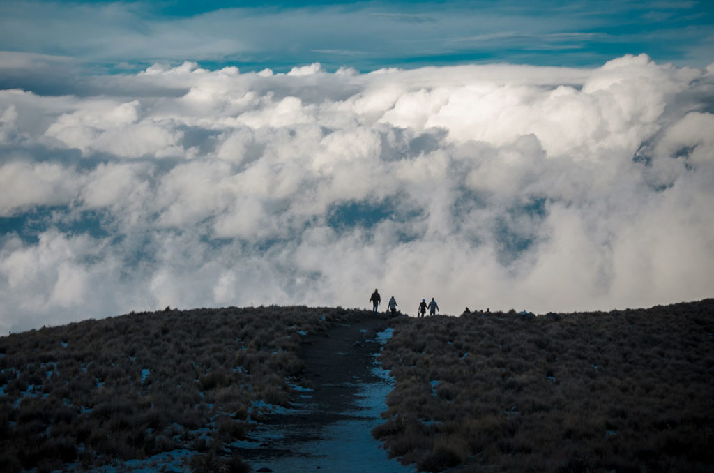
Rare experience of the northern slopes. You will witness mountain forest, Shira plateau, waterfalls, and so much more.

Barranco Wall:

This is a 257 meters rock wall that you scramble to climb it. It is one of the best experience on Kilimanjaro.

Minimum Trekking days:

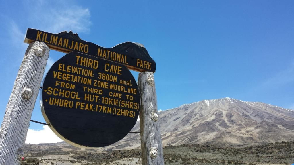
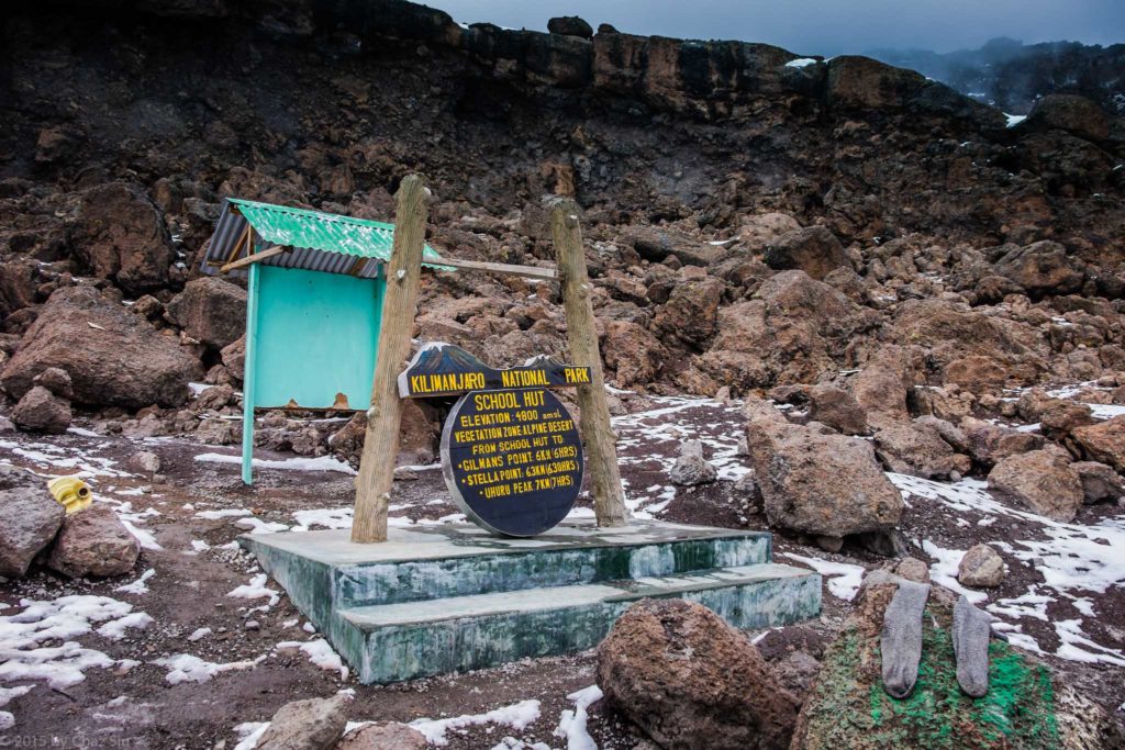
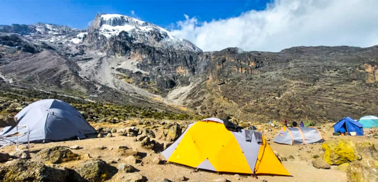
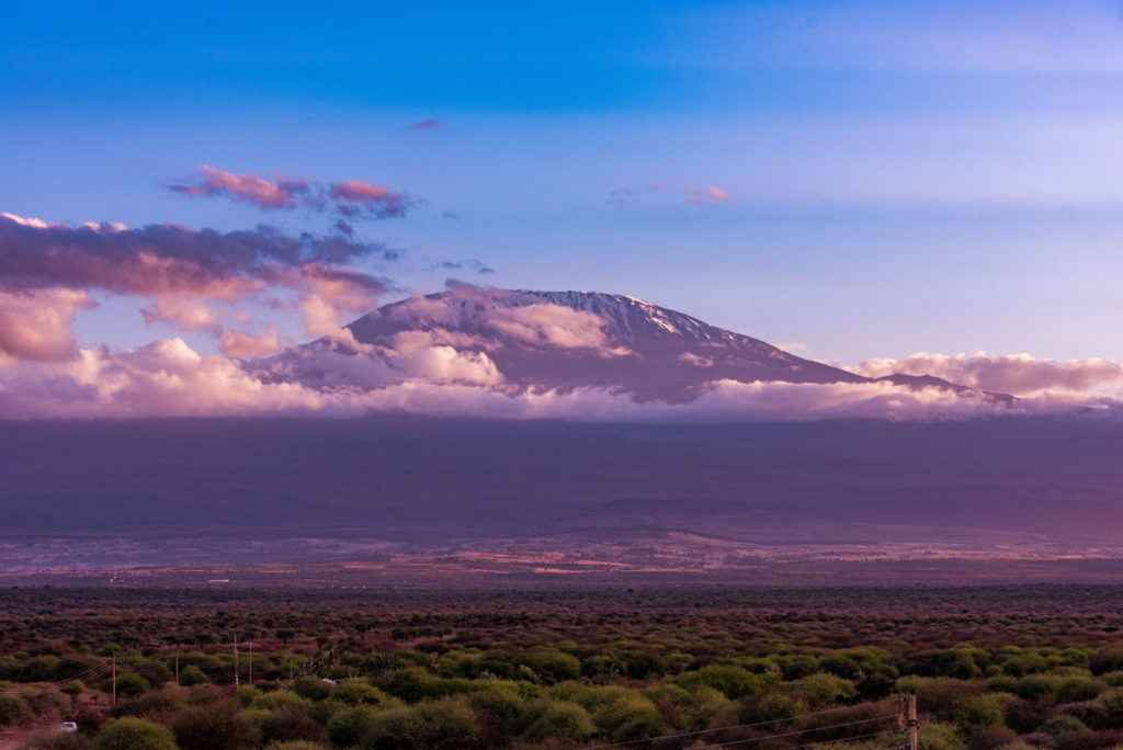
You can do it in 7 days. We recommend you do it in 8 days to allow your body to acclimatize well.

High success rate:

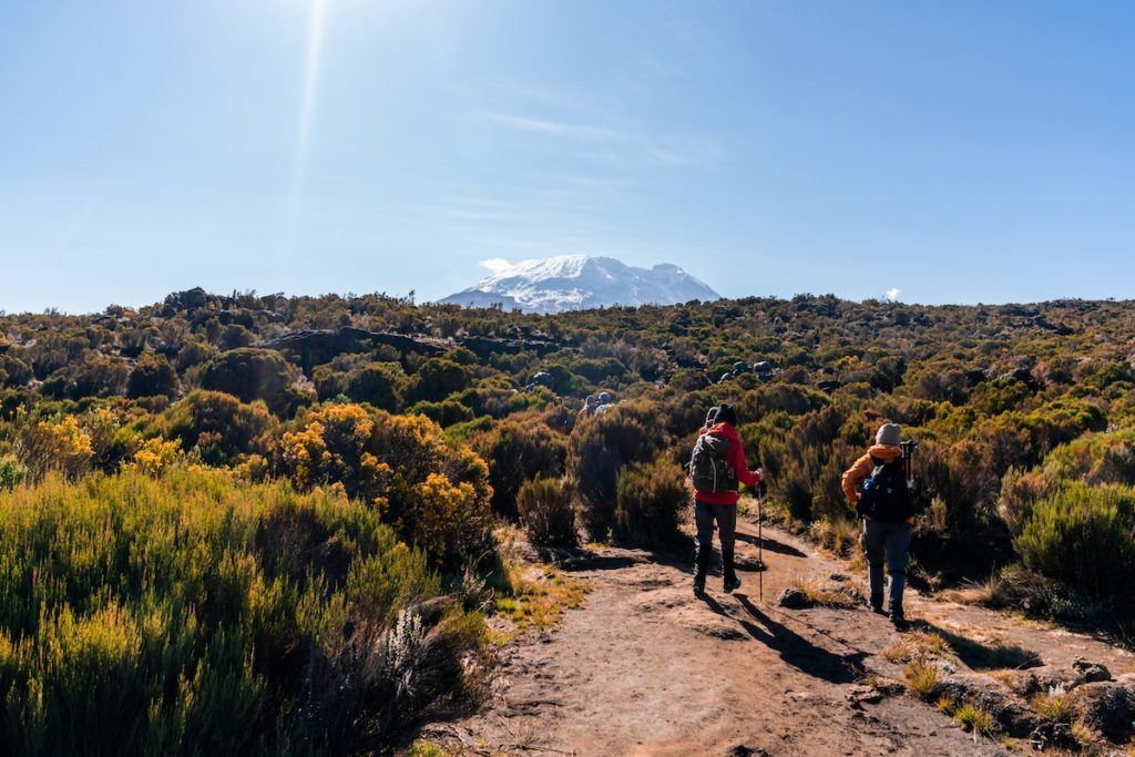
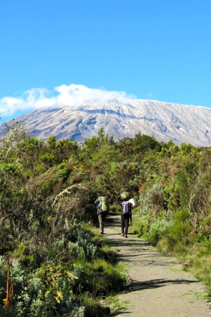
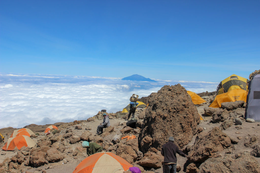
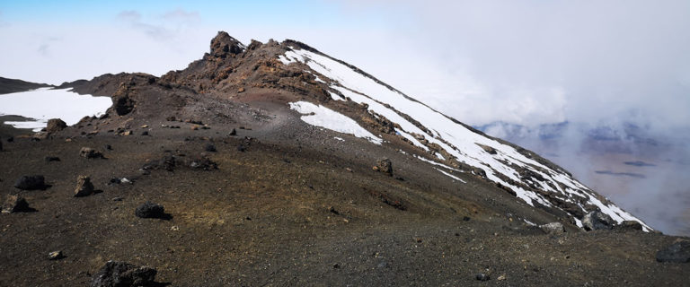
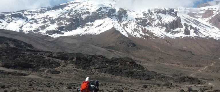
You'll have a chance to climb high and low slopes as you trek towards the base camp.

9 days Northern Circuit route

hikers-climbing-mount-kilimanjaro-in-tanzania-2023-11-27-05-12-25-utc

Day 1 : Lemosho Gate  (7,381 ft) to Mti Mkubwa (9,498 ft)

We will depart from Moshi to Lemosho Gate, which typically takes approximately 1 hour. At Lemosho Gate, we will complete all necessary entry procedures and proceed directly to the trailhead. Upon arrival, we will embark on our hike through undisturbed forest terrain, making our way to the first campsite at Mti Mkubwa.

Lemosho Gate to Mti Mkubwa

  • Elevation: 7,381 ft to 9,498 ft
  • Distance: 6 km/4 miles
  • Hiking Time: 3-4 hours
  • Habitat: Rain Forest

Day 2 : Mti Mkubwa (9,498 ft) to Shira 1 Camp (11,500 ft)

We carry on on the trail leading out of the rain forest and into a savannah of tall grasses, heather and volcanic rock draped with lichen beards. As we ascend through the lush rolling hills and cross several streams, we reach the Shira Ridge before dropping gently down to Shira 1 Camp. Here we catch our first glimpse of Kibo across the plateau.

Mti Mkubwa to Shira 1 Camp

  • Elevation: 9,498 ft to 11,500 ft
  • Distance: 8 km/5 miles
  • Hiking Time 5-6 hours
  • Habitat: Heath
Group of trekkers hiking in Kilimanjaro

Day 3 : Shira 1 Camp (11,500 ft) to Shira 2 Camp (12,500 ft)

We continue on the trail leading out of the rain forest and into a savannah of tall grasses, heather and volcanic rock draped with lichen beards. As we ascend through the lush rolling hills and cross several streams, we reach the Shira Ridge before dropping gently down to Shira 1 Camp. Here we catch our first glimpse of Kibo across the plateau.

Shira 1 Camp to Shira 2 Camp

  • Elevation: 11,500 ft to 12,500 ft
  • Distance: 7 km/4 miles
  • Hiking Time: 3-4 hours
  • Habitat: Heath

Day 4: Shira 2 Camp (12,500 ft) to Lava Tower (15,190 ft)

We catch up to the east up a ridge and then head southeast towards the Lava Tower – a 300 ft tall volcanic rock formation. Then we divert from the main trail to Moir Hut, a little used site on the base of Lent Hills. A variety of walks are available on Lent Hills making this an excellent acclimatization opportunity. Shira Plateau is one of the highest plateaus in the world.

Shira 2 Camp to Lava Tower

  • Elevation: 12,500 ft to 15,190 ft
  • Distance: 7 km/4 miles
  • Hiking Time: 3-4 hours
  • Habitat: Alpine Desert

Lava Tower to Moir Hut     

  • Elevation: 15,190 ft to 13,580 ft
  • Distance: 7 km/4 miles     
  • Hiking Time: 2-3 hours
  • Habitat: Alpine Desert

Day 5: Moir Hut (13,580 ft) to Buffalo Camp (13,200 ft)

Trekking out of Moir Valley with a moderately steep climb, then hike to the summit of Lent Hills before returning to the main trail. The path crosses a rock field and gently undulates before reaching Buffalo Camp. This section of the trail offers great views across the plains that lie north of Kilimanjaro and stretch out to the Kenyan/Tanzanian border.

Moir Hut to Buffalo Camp

  • Elevation: 13,580 ft to 13,200 ft
  • Distance: 12 km/7 miles
  • Hiking Time: 5-7 hours
  • Habitat: Alpine Desert

Day 6: Buffalo Camp (13,200 ft) to Third Cave (12,700 ft)

As we head up Buffalo Ridge, the terrain becomes increasingly sparse. This route is rarely travelled and we will enjoy its mountain wilderness feel. We trek through remote valleys on to the northern slopes of Kilimanjaro until we arrive at Third Cave.

Buffalo Camp to Third Cave

  • Elevation: 13,200 ft to 12,700 ft
  • Distance: 8 km/5 miles
  • Hiking Time: 5-7 hours
  • Habitat: Heath

Day 7: Third Cave (12,700 ft) to School Hut (15,600 ft)

We climb steadily up and over the “Saddle,” which sits between Kibo and Mawenzi. We continue on to our camp, School Hut. Once here we rest, enjoy an early dinner to prepare for the summit day.

Third Cave to School Hut

  • Elevation: 12,700 ft to 15,600 ft
  • Distance: 5 km/3 miles   
  • Hiking Time: 4-5 hours
  • Habitat: Alpine Desert

Day 8: School Hut (15,600 ft) to UhuruPeak (19,341 ft) then Uhuru Peak (19,341 ft) to MwekaCamp (10,065)

Very early in the morning (around midnight), we begin our push to the summit. This is the most mentally and physically challenging portion of the trek. The wind and cold at this elevation and time of day can be extreme. We ascend in the darkness for several hours while taking frequent, but short, breaks. At Gilman’s point (18,600 ft), you will be rewarded with the most magnificent sunrise you are ever likely to see coming over Mawenzi Peak. Finally, we arrive at Uhuru Peak- the highest point on Mount Kilimanjaro and the continent of Africa.

School Hut to UhuruPeak

  • Elevation: 15,600 ft to 19,341 ft
  • Distance: 6 km/4 miles
  • Hiking Time: 6-8 hours

From the summit, we now make our descent continuing straight down to the Mweka Hut camp site, stopping at Barafu for lunch. The trail is very rocky and can be quite hard on the knees; trekking poles are helpful. Mweka Camp is situated in the upper forest and mist or rain can be expected in the late afternoon. Later in the evening, we enjoy our last dinner on the mountain and a well-earned sleep.

Uhuru Peak to MwekaCamp

  • Elevation: 19,341 ft to 10,065
  • Distance: 12 km/7 miles
  • Hiking Time: 4-6 hours
  • Habitat: Artic

Day 9: Mweka Camp (10,065 ft) to Mweka Gate (5,380 ft)

On our last day, we continue the descent to Mweka Gate and collect the summit certificates. At lower elevations, it can be wet and muddy. From the gate, we continue another hour to Mweka Village. A vehicle will meet us at Mweka Village to drive us back to the hotel in Moshi/ Arusha.

Mweka Camp to Mweka Gate   

  • Elevation: 10,065 ft to 5,380 ft
  • Distance: 10 km/6 miles
  • Hiking Time: 3-4 hours
  • Habitat: Rain Forest

This will be the end of our hiking.

Plase note:

  • Itineraries are flexible and we customize them according to your needs. 
  • Airport pick up and drop off are optional, meaning if you are already in Moshi or Arusha or you can arrange your own airport transfers, we can take them out of the price for this tour.
  • Pre- and post-climb accommodations are optional.
kilimanjaro-on-african-savannah-2023-11-27-05-15-47-utc

Trekking Packages

We'd love to answer your questions!

caminando-entre-las-nubes-2023-11-27-05-31-21-utc

Inquire Northern circuit route trek

Northern Circuit treks start at $2,900 per person. Inquire for a quote below.